The India Privacy Monitor Map
-
Internet Governance

Maria Xynou
9 October 2013
In a country of twenty-eight diverse states and seven union territories, it remained unclear to what extent surveillance, biometric and other privacy-intrusive schemes are being implemented. We are trying to make up for this by mapping out data in every single state in India on the UID, CCTNS and NPR schemes, as well as on the installation of CCTV cameras and the use of Unmanned Aerial Vehicles (UAVs), otherwise known as drones.
In particular, the map in its current format includes data on the following:
UID: The Unique Identification Number (UID), also known as AADHAAR, is a 12-digit unique identification number which the Unique Identification Authority of India (UIDAI) is currently issuing for all residents in India (on a voluntary basis). Each UID is stored in a centralised database and linked to the basic demographic and biometric information of each individual. The UIDAI and AADHAAR currently lack legal backing.
NPR: Under the National Population Register (NPR), the demographic data of all residents in India is collected on a mandatory basis. The Unique Identification Authority of India (UIDAI) supplements the NPR with the collection of biometric data and the issue of the AADHAAR number.
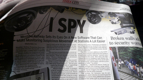
CCTV: Closed-circuit television cameras which can produce images or recordings for surveillance purposes.
UAV: Unmanned Aerial Vehicles (UAVs), otherwise known as drones, are aircrafts without a human pilot on board. The flight of a UAV is controlled either autonomously by computers in the vehicle or under the remote control of a pilot on the ground or in another vehicle. UAVs are used for surveillance purposes.
CCTNS: The Crime and Criminal Tracking Networks and Systems (CCTNS) is a nationwide networking infrastructure for enhancing efficiency and effectiveness of policing and sharing data among 14,000 police stations across India.
Our India Privacy Monitor Map can be viewed through the following link: http://cis-india.org/cisprivacymonitor
This map is part of on-going research and will hopefully expand to include other schemes and projects which are potentially privacy-intrusive. We encourage all feedback and additional data!